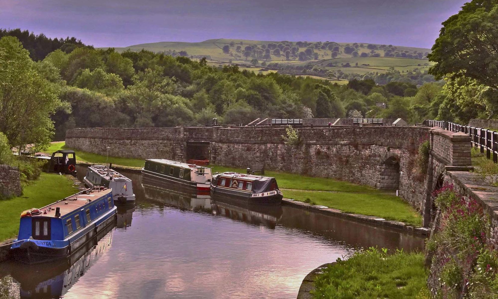
Our weekend started with an interesting illustrated talk on the Friday evening by the Lancaster Canal Trust about the history of the canal and the restoration.
Running from Preston to Kendal, by 1797 the Lancaster Canal was operating as far as Tewitfield. Work started north of Tewitfield in 1813 and reached Kendal in 1819. This was much needed in Kendal and was of immediate benefit to the town which thrived from then on. Known as the ‘Black and White Canal’ because coal was brought in and limestone taken out, a passenger service also ran between Preston and Kendal – the boats managed an amazing 10 mph – loyal customers using it even after the advent of the railways.
In 1941/42 the LMS railway, who owned the canal, closed the top half mile of the canal in Kendal , the LMS tried to close the remainder but as the canal still served the gas works in Kendal this failed. However this supply was transferred to road in 1944 and commercial traffic ceased in 1947. The canal officially closed in 1955. It had always suffered leakage due to the underlying limestone and due to the leakage it was drained north of Stainton with the two miles into Kendal being filled in. A section at Burton was also drained with a pipe taking water down to Tewitfield.
The Lancaster Canal Trust formed in 1963 with the aim of preventing the northern extension of the M6 closing the navigation north of Carnforth. When this failed the aim of the society became to re-open the canal between Tewitsfield and Kendal. The M6 cuts across the canal at 3 points but it is possible to take the canal underneath, one could be done as a bore but the other two would need excavating and piling, this would have to be done one lane at a time. This would be a multi million pound project.
Saturday’s walk started in Holme. Holme is one of a number of places along the Lancaster Canal where coal was once brought by canal barge to a wharf and then converted to coke for use locally. The Coke ovens are now in a garden on the offside of the canal and the owner allowed the group into his garden to view these early beehive shaped ovens.

From Holme it was a pleasant mornings walk to Crooklands. This section of the canal is in water, running through open countryside although the M6 inevitably runs close by. After stopping at Crooklands for lunch David Gibson, secretary of the LCT, joined us as guide for the afternoon. At Crooklands Wakefield Wharf served the gunpowder factory C.W.H. Wakefield and Co. at nearby Gatebeck, a small horse drawn tramway was built to link the factory with the wharf and thence to Milnthorpe Station. From here the canal continues through pleasant countryside for another couple of miles to Stainton aqueduct.
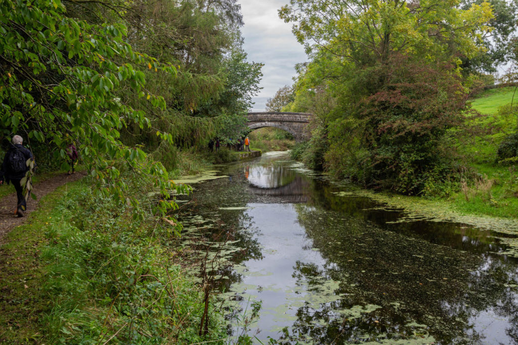
Unfortunately, the towing path here is closed as CRT are still working on the aqueduct which was damaged in the floods of 2015 (hopefully this will soon be reopened) and the group had to detour via the road. However Mark and I had an unscheduled detour and were at least able to view the aqueduct from the river below.

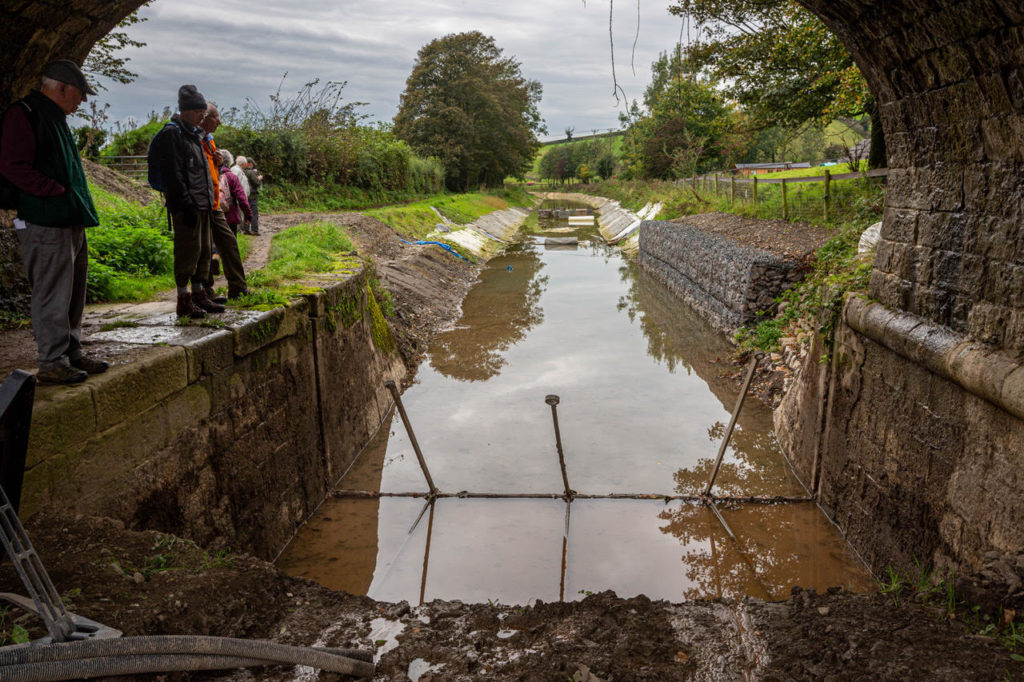
Soon after this we reached the ‘first furlong’, running between bridges 172 and 173, where the society are currently lining the canal with a sandwich of geotextile and a high grade pond liner in between, covered in concrete blocks as a physical barrier to damage from above and to hold the liner in place against groundwater pressure. As can be seen the volunteers are having some problems with water getting underneath at the moment.
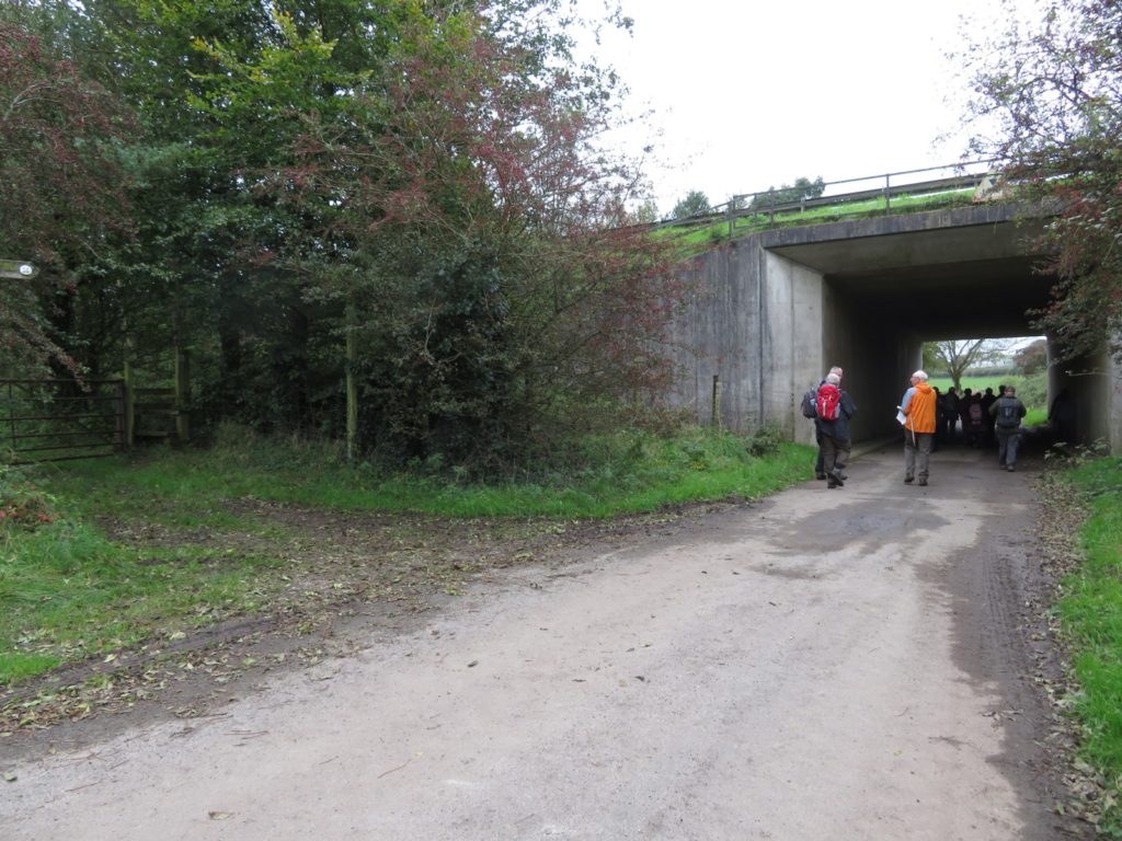
The canal ran out as we reached Well Head Lane, this farm road runs under the A590 which cuts across the line of the canal. David explained that as this is a little used road mainly used by farm vehicles they are looking at the possibility of the canal using the bridge or sharing the access under the bridge, but both options are unlikely to be practical.
Passing under the A590 we regained the towpath and were soon at Hincaster tunnel. The 378 yard long tunnel is a Scheduled Ancient Monument, the first ten yards at each end and the underwater section are all built of limestone, the rest is lined with approximately 4 million locally made bricks. The engineers were loath to use brick, believing that the structure wouldn’t be strong enough, it was pointed out that brick had been used successfully in tunnels further south and the tunnel became the first major brick-built civil engineering project north of the Mersey at that time.
Inside the tunnel you can still see the fixings for a chain or rope – allowing boats to be pulled through as an alternative to legging. To the left of the tunnel is the horse path with an impressive series of horse tunnels, two at this end and one at the far end, presumably to give farm access over them.
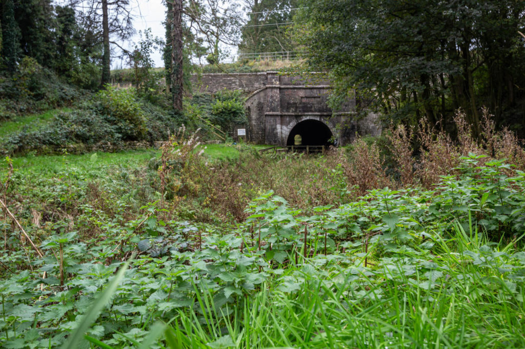

Continuing towards Sedgewick, it’s possible to follow the line of the canal for a good part of the way but part of the canal has been lost to farmland and a detour has to be made. Sedgewick Aqueduct proved to be a bit far for Saturday’s walk but we visited it later, it’s a fine example of a skew aqueduct, extensive repairs having been carried out by WRG and local volunteers in 1991. This is also a Scheduled Ancient Monument, it was one of five road aqueducts built on the canal – there are also 12 aqueducts built over rivers and streams, all but one still survive.
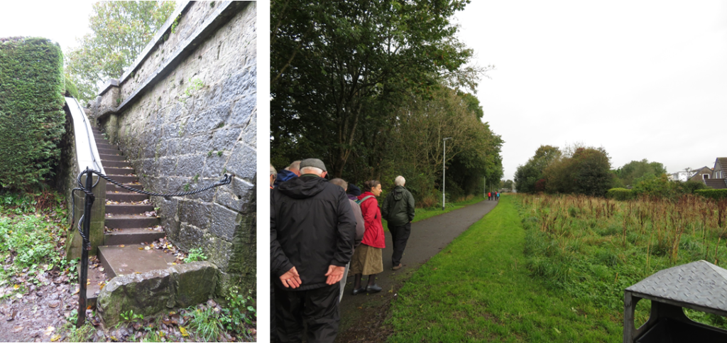
On Sunday morning we met our guide for the morning, John Bateson of the Kendal Civic Society and former Mayor of Kendal, on Natland Beck Mill Road on the outskirts of Kendal. Natland Beck Mill Road forms the border between two councils, going into Kendal the canal is owned by Kendal town council, but going out of Kendal there are several land owners including councils and farmers, inevitably making things more complicated. The canal is currently regarded as a pathway and there are plans to improve this. Going into Kendal there have been ideas about restoring an isolated length but funding and upkeep is a problem. We joined the canal at Natland Mill Beck Bridge admiring the unique rope handrail that had been installed by the civic society.
The canal corridor still exists a good way through Kendal, the towpath being tarmacked and the canal itself infilled and grassed over, you can see how easy it would be to restore and make a feature of this section.
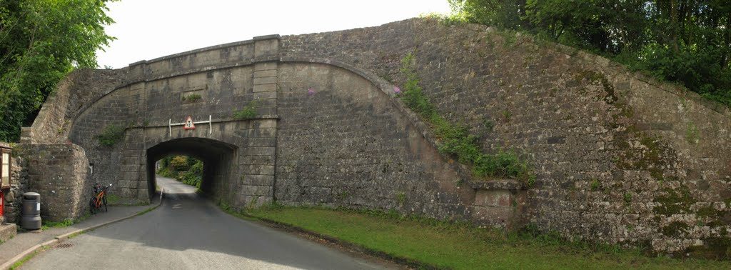
However where the A65 crossed the canal the bridge has been infilled and buried, which is another obstacle for restoration. The next bridge, before the canal becomes a bit more industrial, is a change bridge, the only turnover bridge in Cumbria. After this is the site of the former gasworks. The tarmacked towing path continues but the canal corridor becomes less well defined. Yet another impressive bridge follows, the original stone bridge having been extended for road widening with riveted wrought iron.

At the end of the canal there are railings on the left through which is a recycling centre. This is the site of the canal basin.

The basin ran parallel to Canal Head North, there were warehouses, wharves, stabling and workers cottages. The map below also shows an ironworks at the end of the basin.
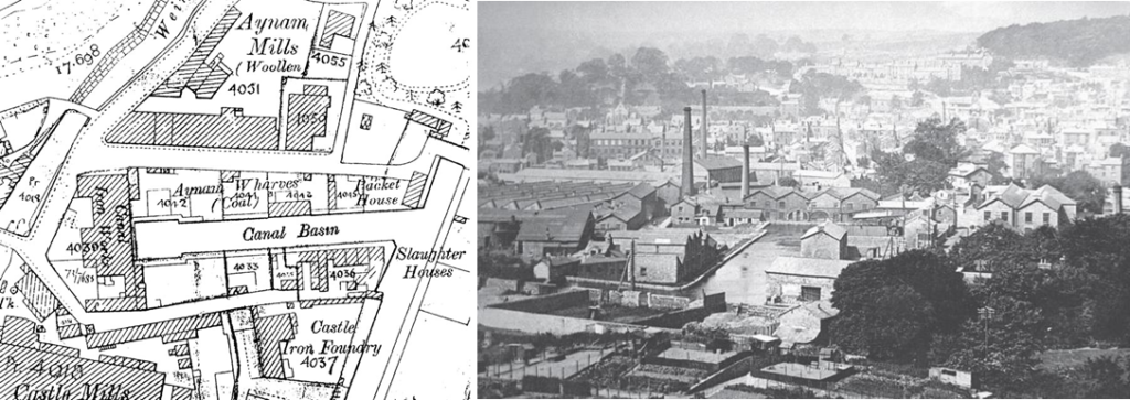
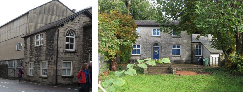
The canal ticket office remains on Canal Head North, as does the canal manager’s house across the road from the head of navigation.
This was the end of the canal walking for the weekend and we headed off to the Windermere Steamboat Museum. The group spent a very enjoyable time in the museum, the highlight being the trip on the steam launch, Osprey. Built in 1902 in Bowness, Osprey has always sailed on Windermere, although at times she has been fitted with diesel engines the museum converted her back to steam fitting a Sissons Steam Compound engine, with its obviously polished but sadly unused Windermere kettle.

This was a very informative, interesting and enjoyable weekend and I know several walkers have expressed a wish to return and explore more of the canal. Many thanks to Pauline for her organisation of the weekend and to all those Pauline arranged to speak/act as guides.

Next time out: Saturday 2nd November. The Chesterfield Canal (Retford to Clayworth)
