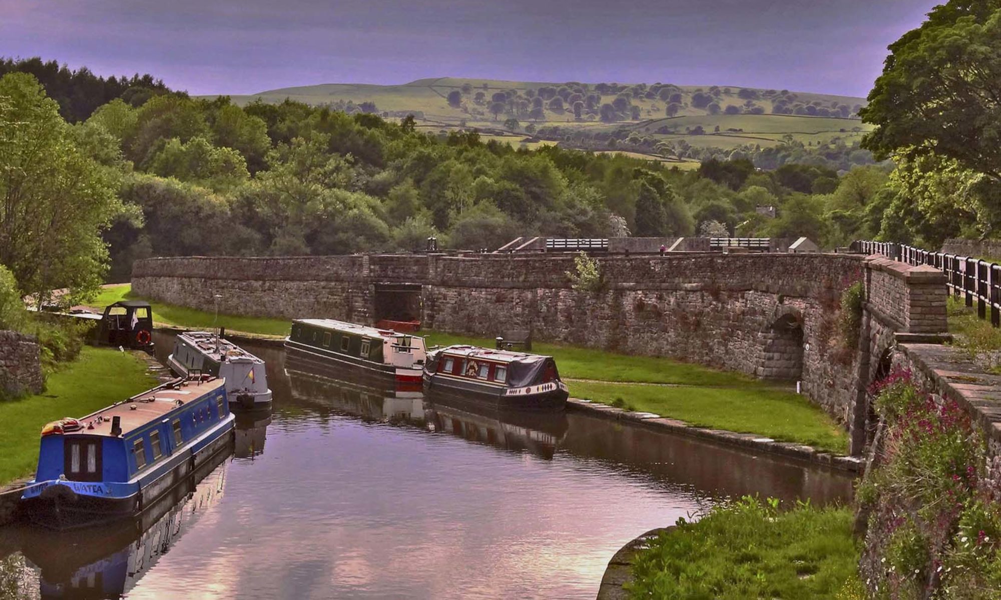
Sunday’s walk started with rain and the owner of the burger van in the large public layby on the A6 where we met threatening to report us for using ‘her car park’. We set off undeterred pleased to be walking together again. We joined the canal at Chase Bridge, roughly half way between Ambergate and Whatstandwell, this section is owned by Derbyshire County Council and is an SSSI.
Steve Carver met us at Sims Bridge, this is where stone would have been taken across the canal from Dukes quarries to the Midland Railway. Steve firstly showed us some stones that had recently been uncovered between the canal and railway which were possibly the base of a crane for loading stone onto rail wagons, the 1900 OS map shows a siding at this point.

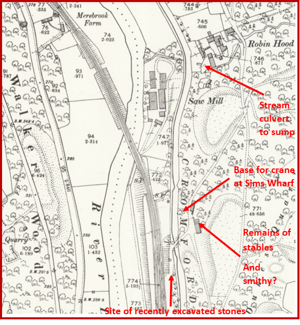
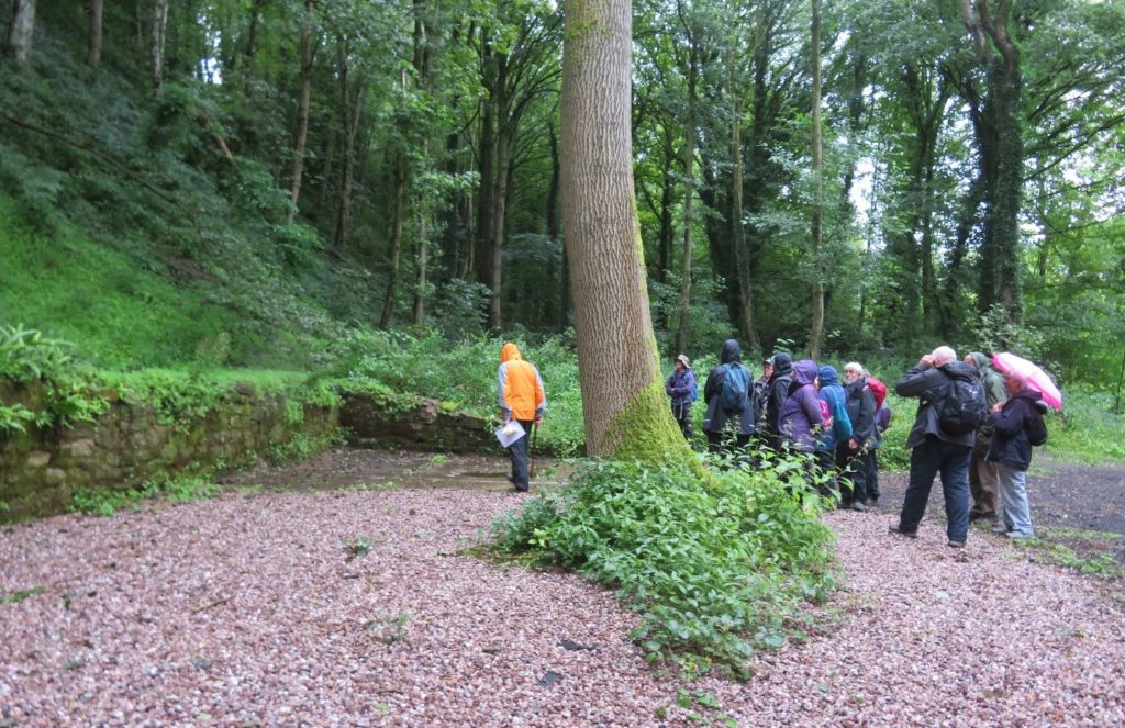
We crossed Sims Bridge to a cleared concrete floored area which was a three bay stable, possibly with an adjoining smithy, and then to a cleared area between the track from Dukes Quarry and the canal. Here was a large stone with a depression in the centre, reminiscent of a crane base except for an iron staple in the centre of the depression. Was this a crane base or one of a number of stones used to tether a Jib Crane?

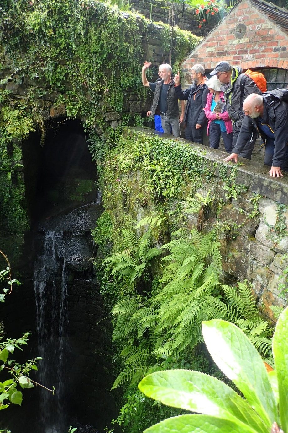
On entering the garden of Steve’s house there is a stone wall lined pit, similar to a water wheel pit, with a small cascade of water from the natural stream. This is thought to have once powered a water turbine to drive the saw mill and provide electric power. The water from the Ridgeway Sough (draining Wakebridge and Crich lead mines) may have also been used to supplement this. The original sawmill was a little way up the hill, originally powered by a water wheel and at some time destroyed by fire. The outfall from the pit passes under the canal in a culvert and discharges into the River Derwent.
Retracing our steps to Sims Bridge we headed for Leawood Pumphouse. The canal runs through countryside here with wooded hillside to one side and views across the valley on the other – admittedly easier to enjoy on a dry sunny day! The canal goes through the 76 yard long Gregory tunnel and then over the railway on an aqueduct which is a Scheduled Ancient Monument. It has a cast iron trough supported by wrought iron cross members and dates from the 1840’s.

The first group who were due to see Leawood Pumphouse in steam dashed along to get there for 12pm only to find it wasn’t actually in steam – the message hadn’t reached us that the volunteers had not been able to finish the boiler testing work in time and are now hoping to be back in steam for the August bank holiday. However, we were given an excellent tour by a very knowledgeable guide.
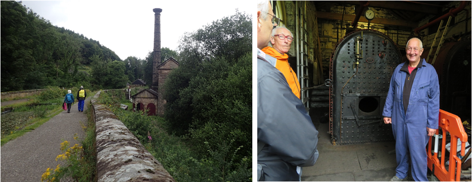
The original iron boilers from 1849 had to be warmed up slowly which was very inefficient in both coal and labour so in 1900 they were replaced with two locomotive type boilers.
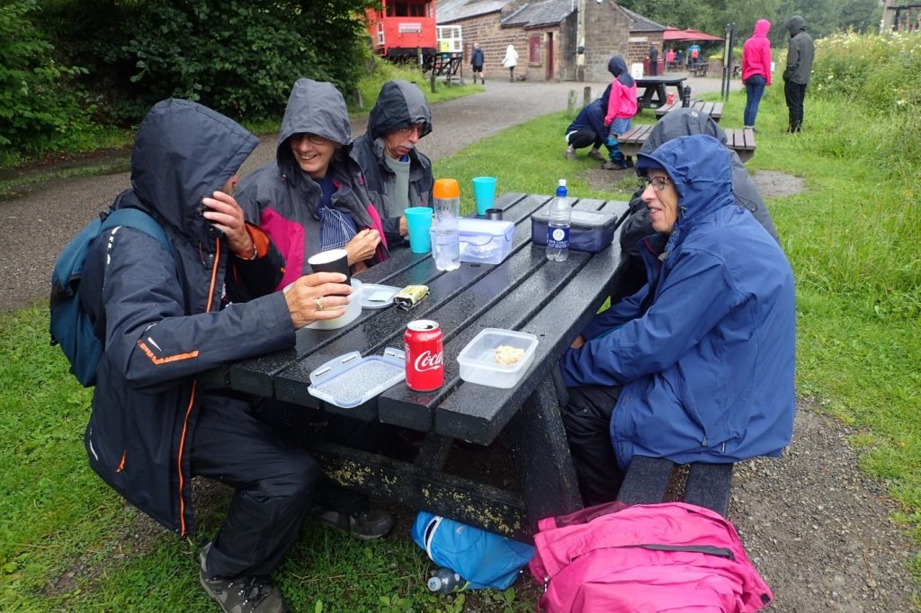
We stopped for lunch at High Peak Workshops at the foot of the Sheep Pasture incline of the Cromford and High Peak Railway, opened in 1831 to connect the Cromford Canal to the Peak Forest Canal at Whaley Bridge and originally intended to be a canal route. It was constructed on the same principle as a canal with long level sections (originally worked by horses) connected by inclines where the wagons were raised and lowered on ropes, with the aid of stationary steam engines. The following film shows the Sheep Pasture incline and winding house and a journey over parts of the line (footage from 6.30 minutes – 12.15).
We then headed for the Leawood or Nightingale Arm. Opened in 1802 it originally ran for about 800 yards into Leawood but in 1819 (after complaints about water ‘abuses’ by Mill owners) its length was halved, the terminus then being Peter Nightingale’s hat factory.
At the junction with the main line is Aqueduct cottage built as a lock keepers’ cottage for the stop lock/water control gates at the junction. The cottage was lived in until the 1960’s, then became and bunkhouse for a walking group, but later fell into disrepair. However, the Friends of Aqueduct Cottage and Derbyshire Wildlife Trust, who own the cottage and woodland behind it, are now restoring it. When finished it will house a Visitor Interpretation Centre.
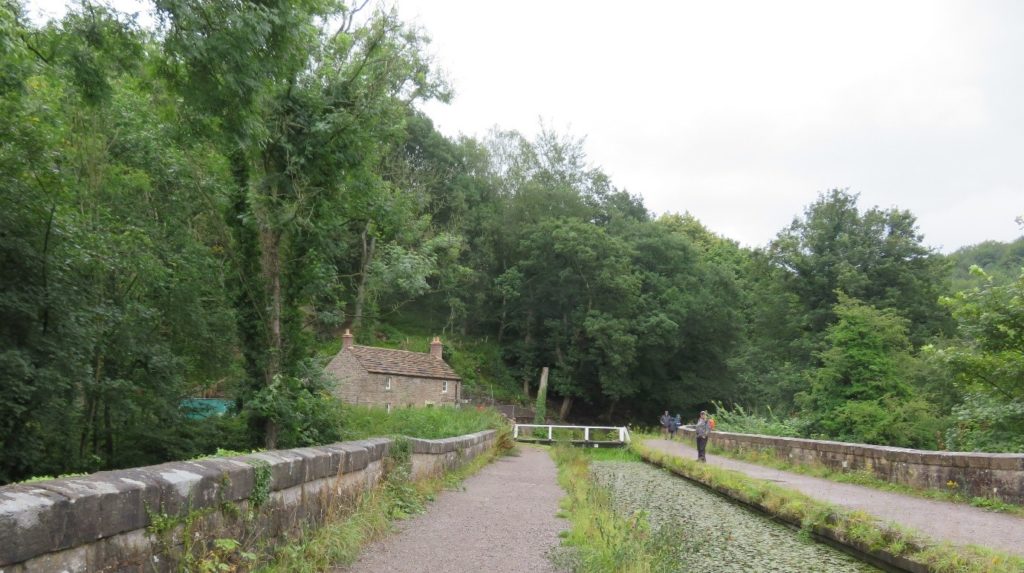
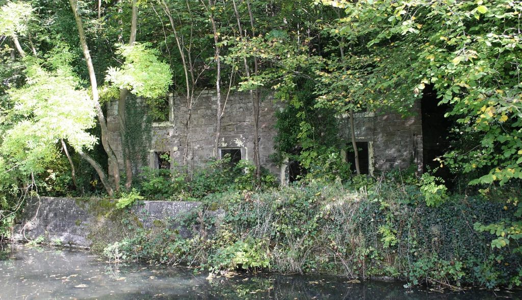
The ‘stop lock’ outside the cottage is still something of a puzzle. Boats weren’t allowed through unless the level of the water in the Arm was higher than the main line. The lock is 70’ long, there are two gate recesses at the junction end but nothing at the other end, however a map of 1811 shows a conventional lock. The lock wasn’t in use for long so whether the Leawood end of the lock was removed or the map was incorrect is unknown.
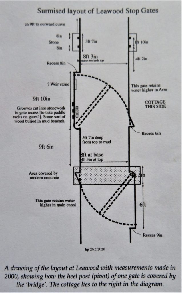
There is still some water in the first section of the branch until it crosses the Midland railway, there was a cast iron aqueduct here clad in decorative stone, now there is a pedestrian bridge built across. The wharfingers house still stands (now extended and a private dwelling) and stone sets and crane base are still in situ.
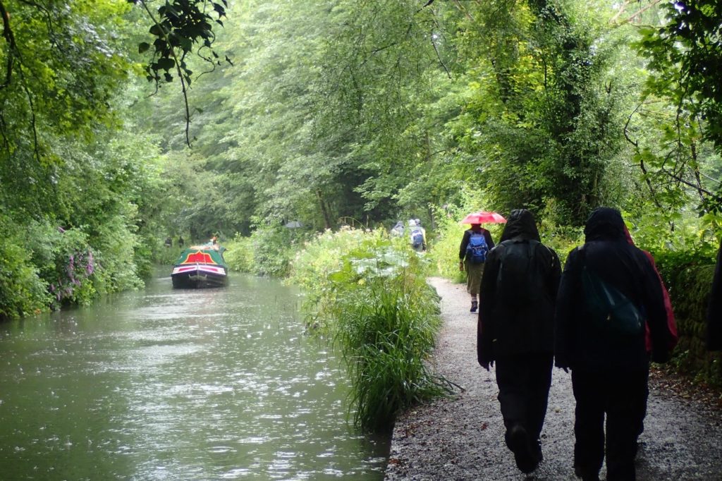
After returning to the junction and crossing High Peak aqueduct for the third time that day the heavens opened, necessitating sheltering under a High Peak railway canopy for a while until the worst passed. It was then a fairly quick walk to Cromford Wharf. It was good to see Birdswood on the move – not horse drawn currently though and unable to go all the way to Leawood Pumphouse due to a problem with the swing bridge.
Most of the group know Cromford Wharf fairly well so we didn’t spend much time here, dispersing to train, bus and car shuttles fairly quickly where we could dry off, but a good day was had by all. A huge thanks goes to Steve for his brilliant guided tour and also to Hugh Potter who met with us on the canal a few weeks ago and provided us with much information (I’m sure we forgot some of it but we did our best!).
Steve has subsequently asked us to put out an appeal for volunteers to help with clearing reeds come the autumn. We have his contact details should anyone local be able to help out.
Next time out: Saturday 18th September Uttoxeter Canal
