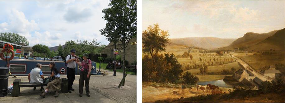
Stockport Branch Canal Walk 22nd May 2021
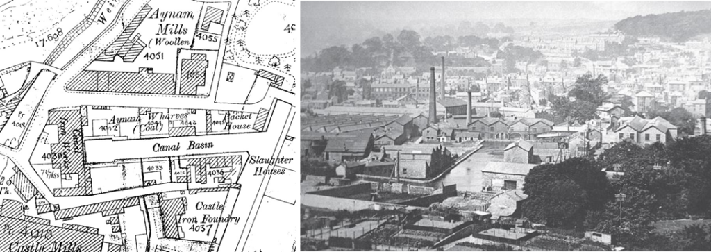
The Stockport Canal branch of the Ashton canal opened in 1797. 4.2 miles in length with no locks it was very busy from the start. It was mainly used to transport coal from the collieries in the Ashton and Oldham area to many mills and factories along its length as well as coal for domestic use. It also carried grain to Albion Mill at Stockport Basin and raw cotton to the mills, general cargo and finished goods. In the early years there was a passenger carrying service between Manchester and Stockport.
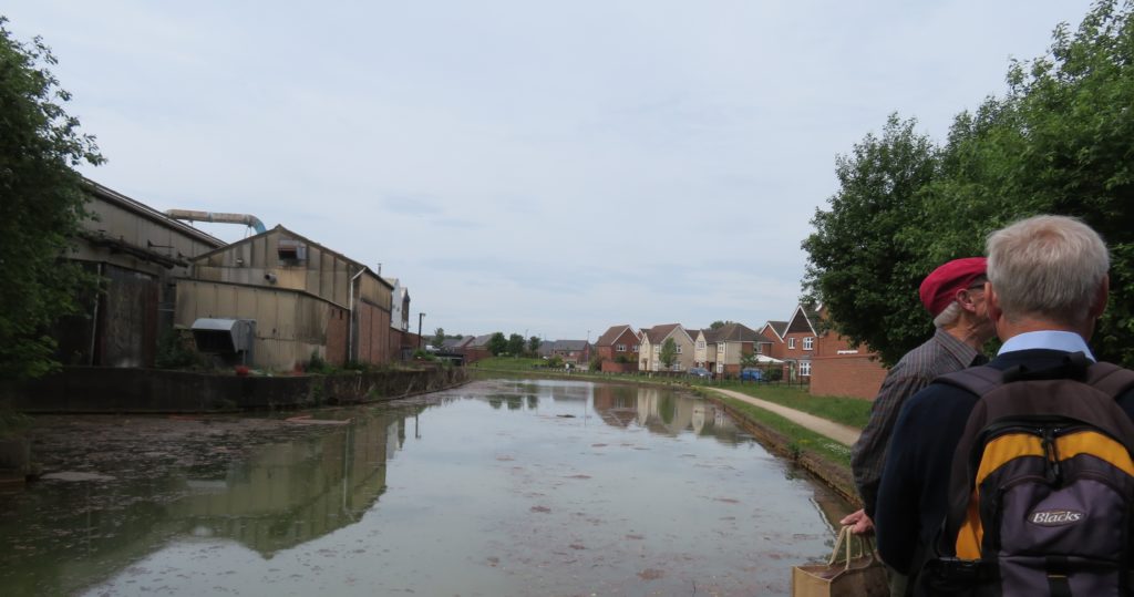
It had a long period of decline and by the 1920s there was very little trade although factories and mills used it as a water supply. It was last used by commercial traffic in the 1930s, then the canal was left to deteriorate. The length from the start of our walk into Stockport, initially owned by Stockport Council, has largely been built over or incorporated into gardens whilst the length in Manchester Council ownership has been maintained as a footpath/cycleway with very little obstruction to restoration.
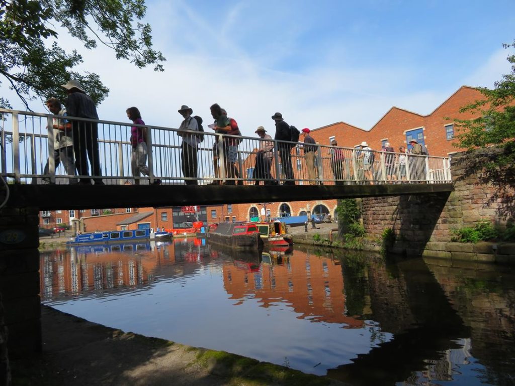
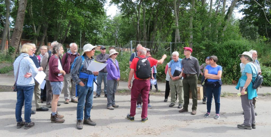
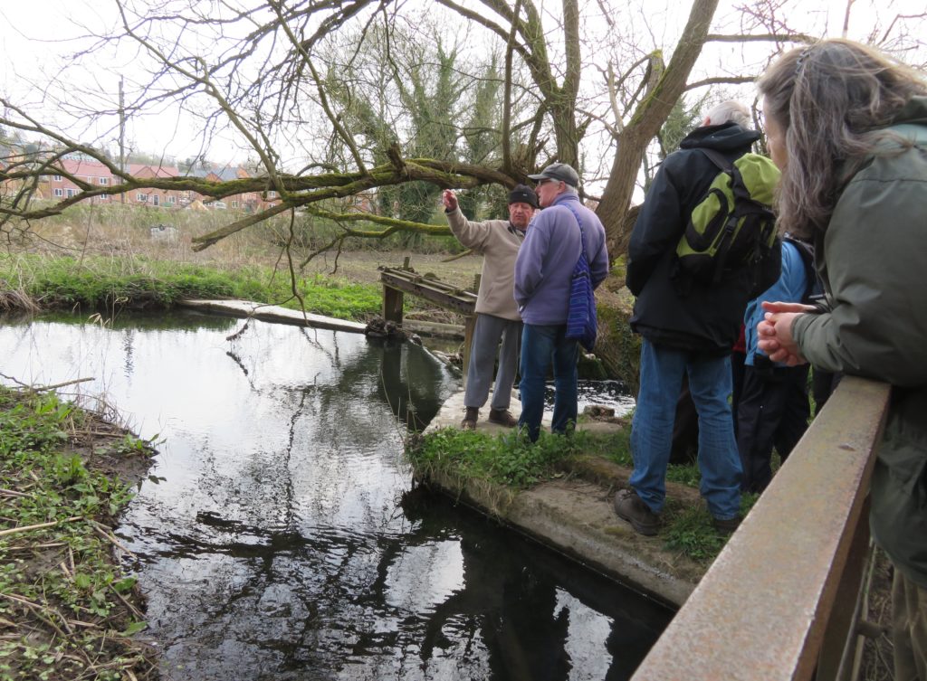
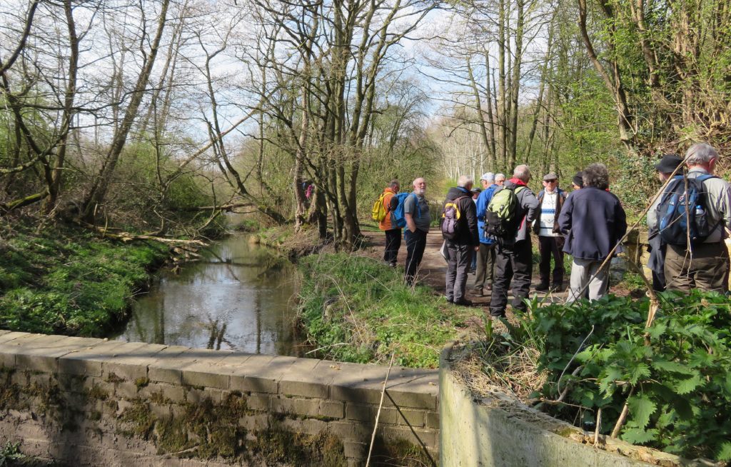
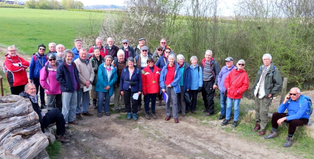
We were made very welcome by the Manchester and Stockport Canal Society with Roger Bravey, Society Chairman leading the walk and explaining the society’s aims and aspirations.
Another member of the society, Graham Burns, was a font of local knowledge. He had been a volunteer at Bugsworth basin in the early days of the restoration and involved in the Ashton restoration so there was much reminiscing with our group.
After our enforced break it was good to hear ‘Right Then!’ again and after some easing of unused joints Roger led us just a short way towards Stockport under the two bridges of Hyde Road to the start of the walk.
This is the point where Manchester City Council and Stockport Council meet. Stockport council had not shown an interest in the canal, allowing it to be filled in and built over. Roger explained that there will be opportunities in the future as buildings go out of use to try and get the line of the canal incorporated into future developments – there is one building closure anticipated and the land is likely to be used for social housing, an ideal opportunity for the society. In other places detours could be made.

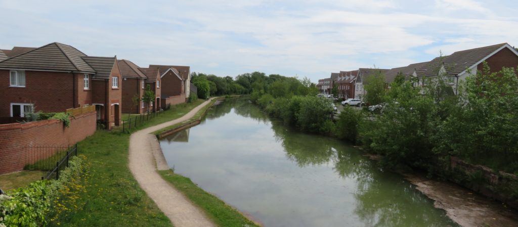
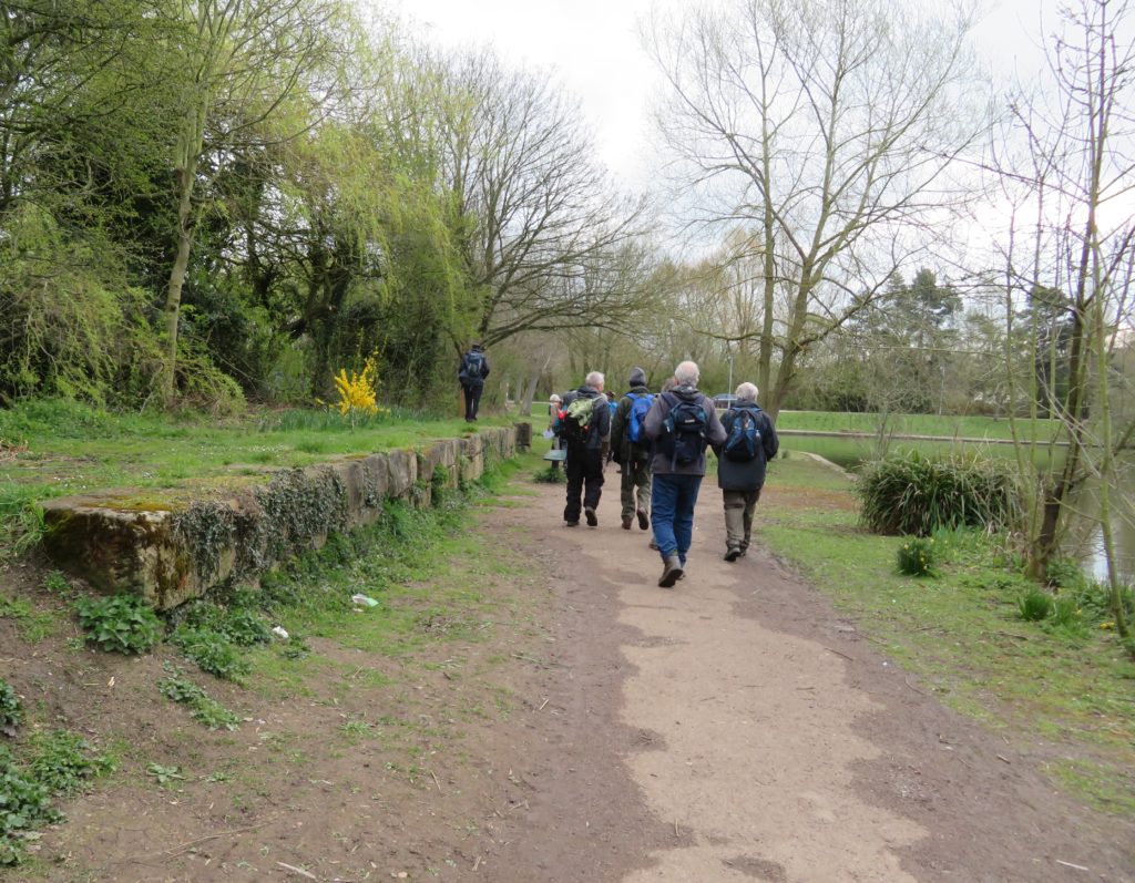
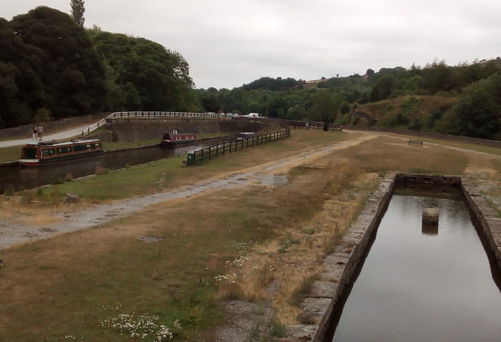
Thankfully Manchester Council had quite a different attitude and the line of canal to Clayton Junction is protected although it is infilled and currently in use as a footpath and cycleway. So this is the length of canal that the society are currently concentrating on.
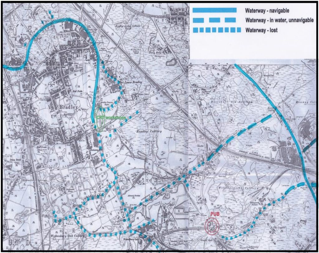
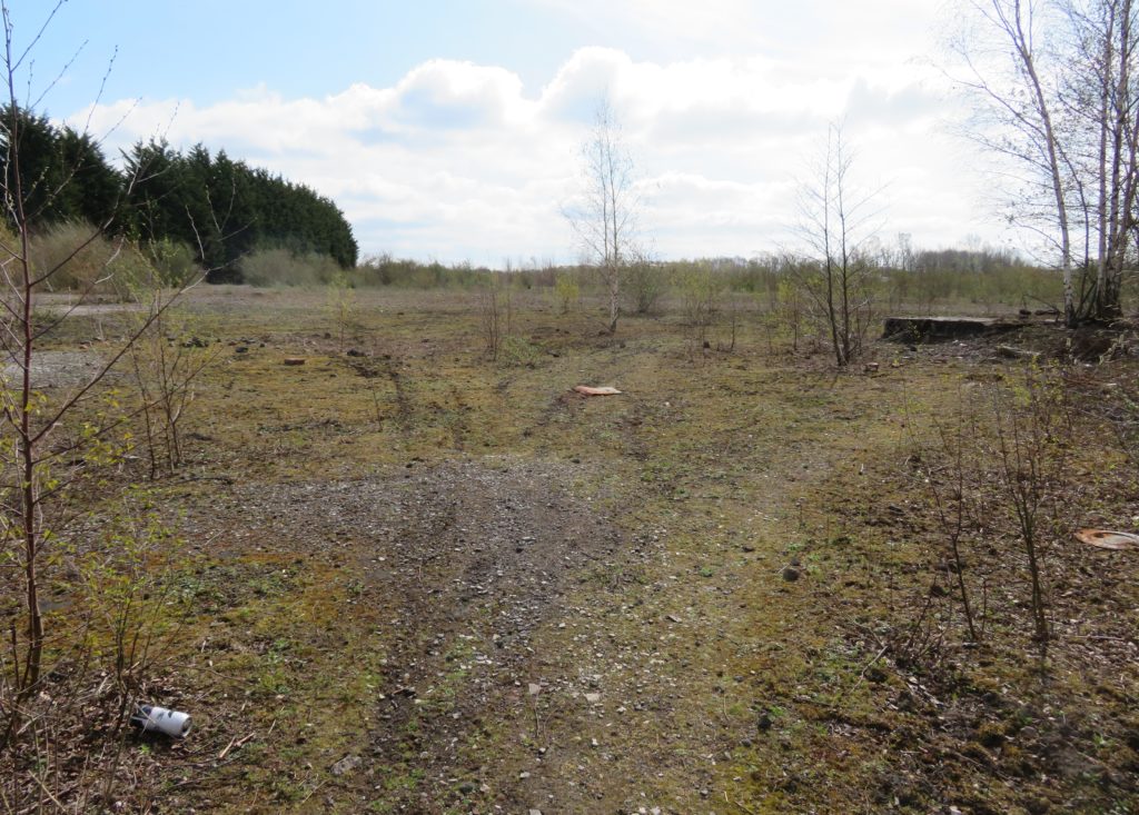
The plan is to start restoration at Clayton junction and gradually work towards Gorton Reservoir. The open space in which we were standing at this point is large enough to take a winding hole as restoration of the canal continues towards Stockport. We retracted our steps under the two Hyde Road bridges after stopping to read the first of the plaques which have been installed along the line of the canal.
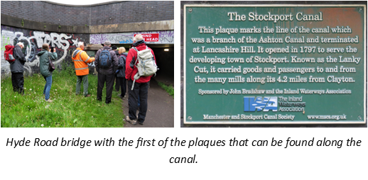
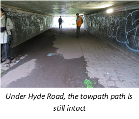
Next stop was at Gorton Reservoir. The reservoir was opened in 1825/6 to provide drinking water for Manchester and the canal ran along the head bank.

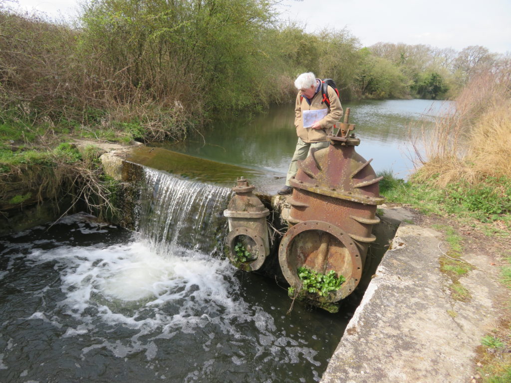
No longer used for drinking water Gorton Reservoir it is now the home of Debdale Outdoor Centre who operate a lot of watersports on the reservoir. It has a modern overspill weir crossing the line of the canal, because of this and for safety reasons the canal couldn’t be re-instated here. The idea instead is to build a lock to access the reservoir where there would be a marina – there is already a suitable area not used for watersports that would be ideal.

Debdale Outdoor Centre are keen for this to happen and it would provide a very welcome and much needed safe stopping point for boaters using the Ashton Canal.
In order to continue restoration towards Stockport another lock would need to be built at the other end of the headbank to lock back into the canal.
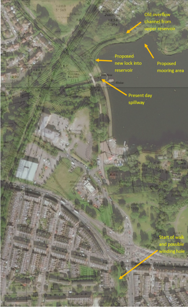
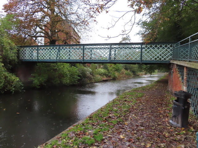
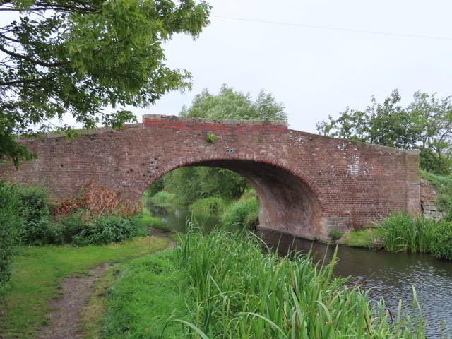
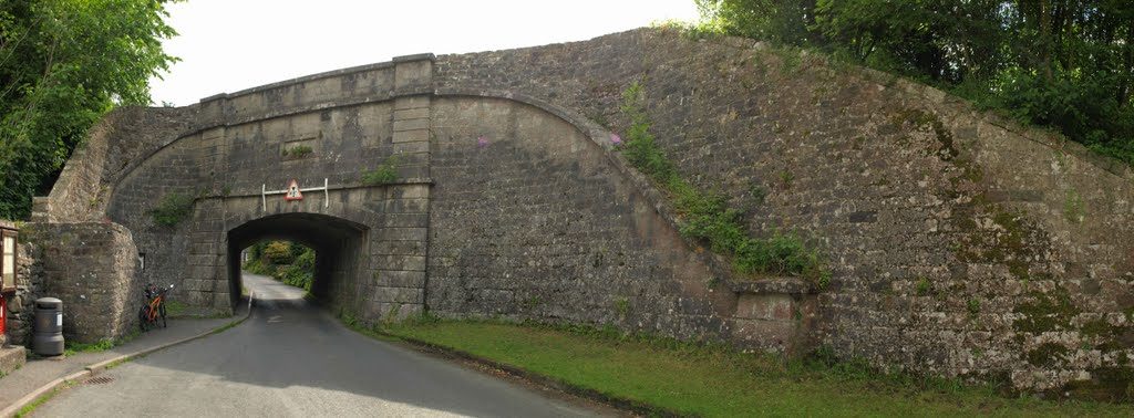
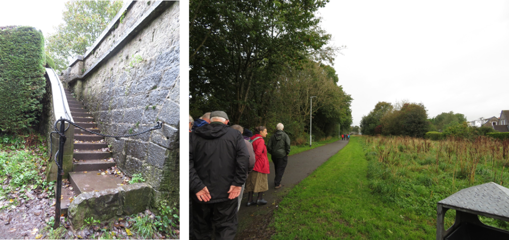
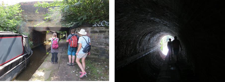
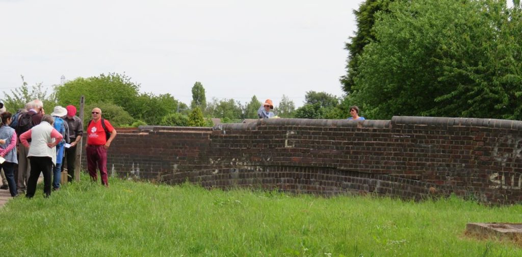
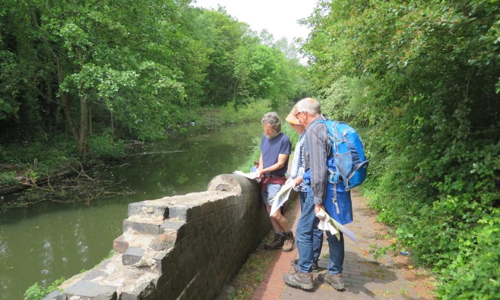
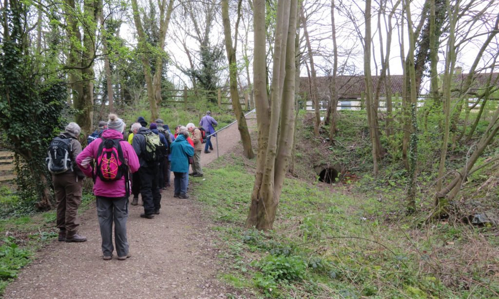
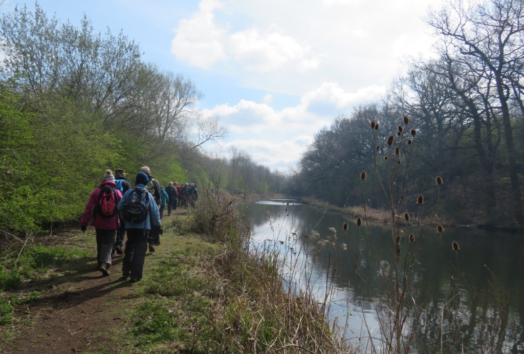
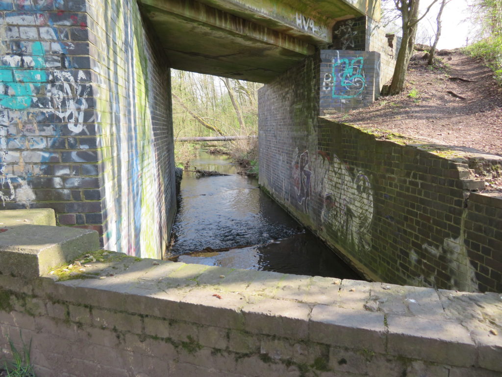
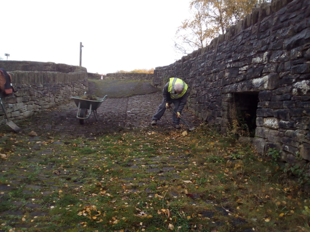
We now set off down the ‘Yellow Brick Road’, possibly so called because of local houses, now demolished, which were built of yellow brick. Although the line of the canal has been protected it is not only infilled but the level is now much higher than the canal which can be seen at the remaining bridges, all but one of which still exist, mostly in good condition some having indents where rollers for boat ropes were installed.
This obviously means that there is a huge amount of infill to excavate and remove. CRT have done a ground survey which largely came up clear with only a couple of small areas possibly having some contamination.

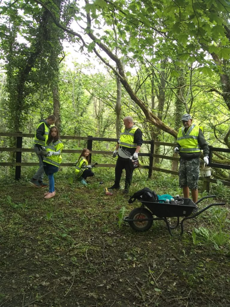
Prior to lockdown working parties had been concentrating on keeping the canal line clear of rubbish and clearing undergrowth. The Society also keep a keen eye on anything that might impede restoration, such as making sure that no services cross the canal – a possibility with the current improvement of cycleways where there are thoughts of installing lighting. We came across a line of metal posts and asked what they were, apparently some new social housing had installed fence posts along canal land and thanks to the society are now having to move them back onto their own land.

The society are also working hard to persuade local people that the canal would be an asset to the area – as the path is currently a very pleasant walk and cycleway with many trees along its length (many of which would have to be removed) this is quite a task. There is enough width to incorporate canal, towpath and a dedicated cycle path, possibly raised up from the towing path thus keeping walkers and bikes separate!
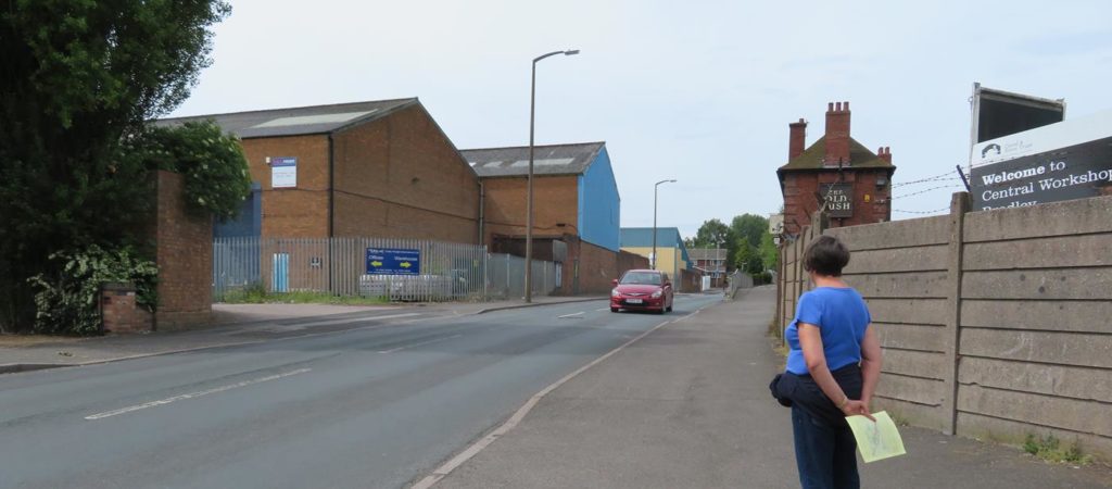
Footbridges will have to be installed where paths cross the canal. The only road bridge that will need building is at Hollybush Street but this comes with problems: the road is quite short and completely level, it is now a service road to relatively new flats meaning that the usual hump backed bridge is not going to be suitable. There are various options to be considered.

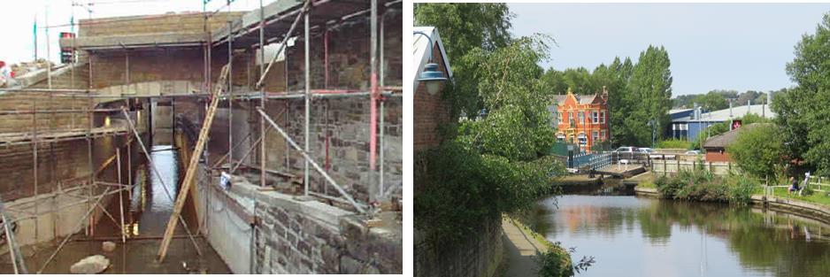
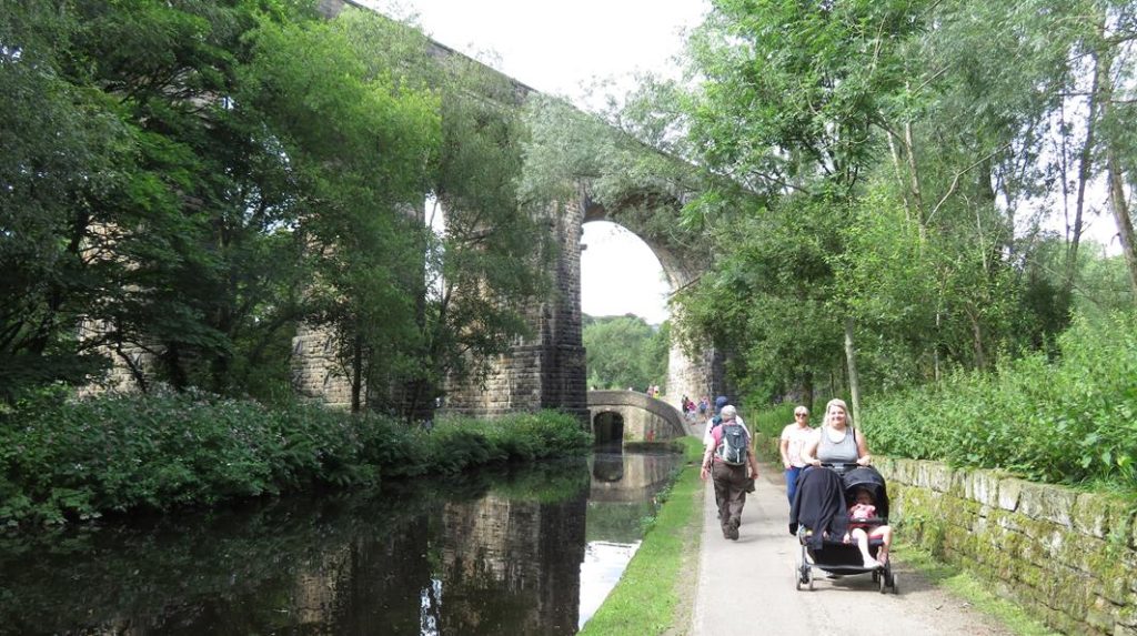
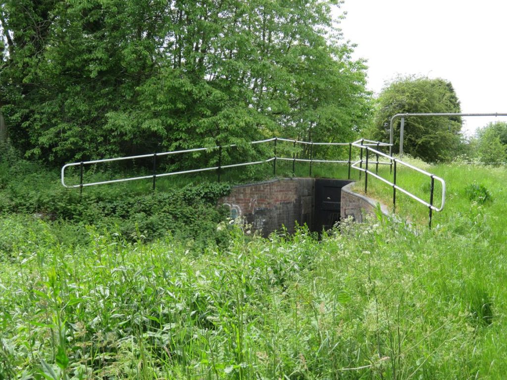
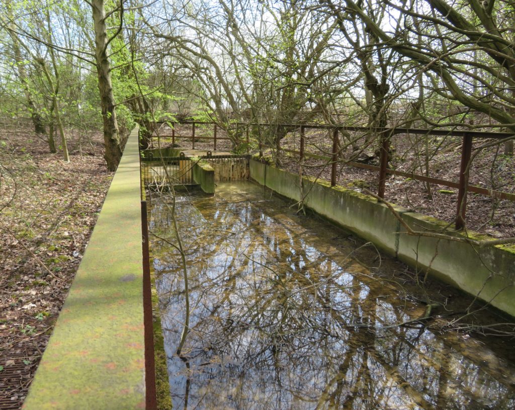
The canal crossed the Great Central Railway line on an iron trough aqueduct close to Gorton Station. The aqueduct is still in good condition, trees have been removed and a survey showed that it still holds water. A layer of soil has been left in the bottom of the trough to protect it.
Just past Ashton Old Road, about half a mile from Clayton junction is another open area, this would be another ideal space for a winding hole after the start of restoration from Clayton junction.
Remarkably, the bridge over the Gorton canal depot arm, with it’s carved head keystone, is still intact, although the arm and works are long gone and developed for housing. In the widening for boats to turn there are three sunken boats. The society would like to recover and restore one of these.

And so to Clayton junction where the start of the arm is still in water. There was another short arm off the Ashton Canal here which serviced the Armstrong Whitworth North Street Works. This had railway connections to/from Armstrong’s and after cassation of traffic a gas works was developed on the west side.
The following link gives further information on North Street Works:-

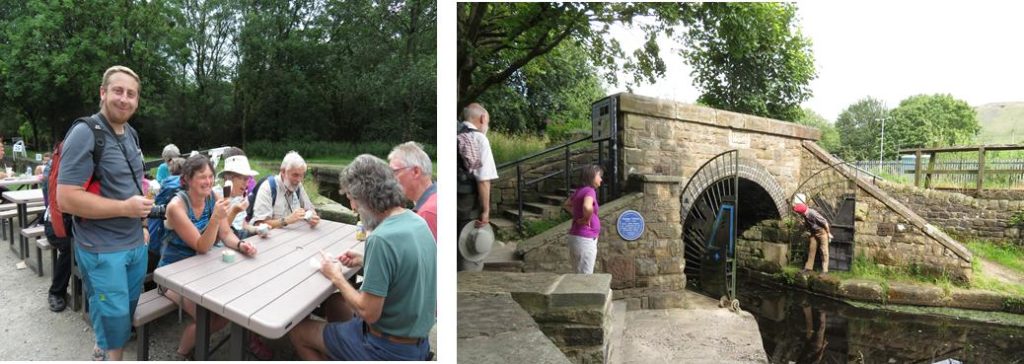
This was the end of the guided part of our walk (we found it so interesting we had spent two and a half hours on a mile and three quarters of canal, a record even for us we think!). Roger and his wife left us at this point while Graham and Liz accompanied us a short way up the Ashton to our lunch break at lock 11 next to the Strawberry Duck. Sandwiches were consumed to the accompaniment of water leaking around lock gates before we set off up the remaining locks towards Droylsden Marina. Here we were just in time to purchase hot drinks (and some delicious cakes) from ‘Safari’ the canal boat café based there, right at the point where the Hollinwood Branch would have carried on. There is a very short stretch of the line visible with a bridge still intact which you can peer into, the towing path, coping stones and wooden rubbing strake are still in place.


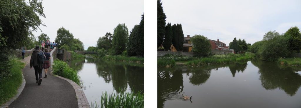
We were now onto the informal part of the day, Paul and Pauline had been studying their OS maps and spotted that instead of retracing our steps that we could complete a circular route back to the reservoir, starting by continuing up the canal towards Marple. After a brief but pleasant stroll up the Ashton, Andrew led us away from the canal up a footpath which emerged into Fairfield Square, all of the buildings of which are of Special Architectural or Historic interest. Fairfield Square is a Moravian settlement. Opened in 1785 it was planned and built by its own people. At that time it was self contained, even having its own doctors and fire engine. Now it accepts some housing association tenants. Their emphasis is still on Christian life and fellowship which shows in the atmosphere in the square.

From here we headed for Gorton upper reservoir from where there were several routes to return to the starting point and we split into groups to follow our chosen paths (although only two of us found the ice cream van!).
It was really good to be meeting up and be walking again and this was an excellent start. Many thanks to the Manchester and Stockport Canal Society for their time and the wealth of information. Thanks also to Paul, Pauline and Andrew guiding us in the afternoon.
Next time out: Sunday 8th August, the Cromford Canal
