Stop planks go in at the Basin

CRT arrived at the basin this morning to insert stop planks into the gauging narrow.

Dropping the stop planks into place

The stop planks will remain in place until we have some significant rainfall and  feeder reservoirs start to recover. This will provide us with the opportunity to monitor leakage from the basin and should the water level drop low enough ascertain the amount of silt that has accumulated since the basin was re-watered in 2005.

We await developments

The Huddersfield Canal East

We started the walk on the Huddersfield Broad Canal (originally the Sir John Ramsden canal as the Ramsdens owned the area at the time) at the locomotive lift bridge. When the canal opened in 1776 to link Huddersfield with the Calder and Hebble navigation there was a swing bridge here, or turn bridge as it was known locally, the road approaching it being called ‘Turnbridge Road’. This is somewhat confusing these days with the bridge now being a lift bridge. The very impressive and unique locomotive bridge, built by the London and North Western Railway Co,  replaced the swing bridge in 1865 and is a scheduled ancient monument. (Thanks to Gerald for the information on the Huddersfield Broad and the Locomotion Bridge).

Locomotive Lift Bridge

Having admired the bridge we moved on to our first stop at Aspley basin where goods coming over the Huddersfield Narrow would have to be transshipped to continue on their way due to the shorter, wider locks on the Huddersfield Broad. The A629 dual carriageway runs next to the basin and was one of the culverted blockages hindering the restoration. This was rebuilt during the major works of 1999-2001 (more of that later) although boaters beware – the headroom is pretty limited.

The new bridge under the A629, linking the Huddersfield Broad with the                                                            Huddersfield Narrow

On the other side of the bridge is an attractive stone warehouse, complete with crane. After this it appears as if an arm runs off to the left, but old maps show that it was a goit bringing water from the nearby River Colne to serve Shorefoot Mill, situated at the end of an arm on the opposite side of the canal, and to feed the canal. Only a small section of the mill arm remains but a crane is still in situ.

On to lock 1E and the start of the Huddersfield Narrow.

Work started on the Hudderfield Narrow in 1794 with Benjamin Outram as engineer.  Plenty of trade was anticipated due to the many woollen, worsted and cotton mills along the route. As they would all need water Outram proposed 10 feeder reservoirs for the canal. Progress was slow, partly due to Outram having too many commitments and being ill for a long period. Other setbacks included severe flooding in 1799 which damaged earthworks and various reservoirs, partly devastated the village of Marsden and destroyed two aqueducts, and the Black Flood of 1810 when Diggle Moss reservoir gave way, again flooding Marsden plus much of the Colne valley, wrecking houses and factories and killing five people.

Finally opened to through traffic in 1811, Telford having taken over construction of the tunneln the  canal has 74 locks and the 5,700 yard long Stanedge tunnel, the longest and deepest on the system.

The canal saw moderate success but by the start of the first world war very little trade was left and in 1944 it was abandoned. Most of the locks were filled with rubble and concreted over to form a cascade, eighteen bridges had been culverted and nearly 2 miles of the canal filled in.

In 1974 the Huddersfield Canal Society was formed and they presented the local  council with a comprehensive plan for restoring the canal providing solutions for all the blockages. With the local textile  industry in decline the council agreed to protect the line of the canal recognising that the future of the area may be in tourism.  The society was very active, attracting many members and much publicity for ‘the impossible restoration’. However,  BW wouldn’t let work start until funding was found to maintain the restored lengths which eventually Greater Manchester county council agreed to do at Uppermill. Progress was slow until job creation schemes came into being, this speeded up the restoration and in 1988 the abandoned canal status was removed so navigation could return to the canal. However there were still several significant blockages hindering full restoration. With grants being given by the Millenium Commision and English Partnerships totalling almost £28,000,000 contractors moved in and the restoration gained pace, finally re-opening in 2001 but with only 2 of the original 10 reservoirs in use.

Our next stop on the walk had been one of the major blockages; just past the site of the original lock 2 the buildings of Bates and Co had been built across the canal. The solution to this was to lower the channel by 3 metres taking the canal through a tunnel under the building and relocate lock 2 upstream. The old lock and new deepened section of the canal being braced with beams.

Beams brace the deepened section of canal leading to Bates & Co allowed a                                                 tunnel to be built under the mill
The existing bridge where the canal has been deepened leading to a narrow                                                          tunnel under Bates & Co.

As there is no towpath through the tunnel we followed the well signposted diversion on the roads round the Mill. On returning to the canal we looked back at the new lock 2 then crossed the road to what had been another major blockage.

Sellars Engineering had occupied the area of the former wharf and canalside warehouses. In the 1999-2011 works the canal channel was moved south of the original line, a new lock 3 built upstream and a 300 metre tunnel was built under Sellars. However in 2011/12 this changed. Sellars moved to a new site, the tunnel was opened up and lock 3 moved back down channel, closer to the original. The area around is being redeveloped with buildings for Kirklees College and Huddersfield University.  The former tunnel section of canal remains a narrow.

Approaching the latest lock 3 with the new college/university buildings canalside.

Our original plan had been to carry on walking up to Milnsbridge but towpath improvements had shut most of the section from here to Milnsbridge so we returned to our cars and drove to Milnsbridge Wharf. Here emergency works had just been completed on lock 9 and CRT had provided us with the following information:

‘The problem with all the locks on the HNC is that water is leaving the chamber into the lock quadrants. Over the years  this had washed away the fines within the quadrant and left voids’. The repairs involved ‘removing stone setts, digging down to a firm level, lining the void with terram, fill with pea gravel and re-laying the sets’.

Having examined  lock 9 there was just enough time to look around Milsbridge wharf, where flats have been built that sit well next to the old stone mills that line the canal.

                                                          Milnsbridge Wharf

Then walk down to the interesting lock 8 where the towpath closure ended. Here a cameo of mills buildings surround the canal, the bridge below lock 8 has been widened and the bottom balance beams now protrude over a highish wall making lock working interesting, the iron lower bridge parapet is original and shows the earlier road line and there is an unusual bywash outfall below the lock.

The outfall below lock 8 with the original parapet above

Another short drive took us to Slaithwaite for lunch at the wonderful lock 22 café where we all sat in the sun to enjoy our substantial lunches before sampling the first ice-cream of the day.

The canal alongside the café had been infilled and covered with grass and cherry trees, just downstream lock 22 had been buried for 30 years under a car park. During the restoration this was re-instated. The channel is narrower than originally but this 600 metre section which runs alongside the main road through Slaithwaite is now a very attractive feature of the town, and popular area for visitors.

Next to the main road in Slaithwaite. Looking down towards lock 22

At the top end of this section the bridge below lock 24 had been widened leaving no space for balance beams, the solution here was to install a guillotine gate, this has presented some problems in recent years but is now back in working order.

The guillotine gate at lock 24

From here the canal progresses through attractive tree-lined sections with elegant stone bridges.  Between  locks 26 and 27 was the dam for Shaw Carr Wood Mill. At some time this has been breached through to the canal and causes problems with siltation in the canal.

Attractive tree lined section of canal above Slaithwaite

The route then emerges into glorious open hill scenery with the occasional stone built house and the remains of mill races running parallel – providing plenty of interesting diversions.

                                                            Heading into the hills

Sparth reservoir also runs alongside the canal. Because the canal was due to close due to water shortages two days after our walk, we had expected the water level in here to be spectacularly low, but this wasn’t the case and several swimmers and sun-bathers were taking advantage of the warm weather and beautiful location.

                                    Sparth reservoir, alongside the canal

We finally arrived at lock 42E, the top lock on the east side of the canal, and next to Marsden Station. Here we split into two groups, one group carried on to the tunnel and visitor centre and those who had been before and therefore considered another ice-cream more of a priority dropped down into Marsden town centre for the ice-cream parlour.

With its restoration features, stone bridges and mill buildings, and the amazing views as it climbs into the pennines the Huddersfield Narrow remains one of my favourite canals. Walking the canal gives a different perspective to boating and it is well worth doing both if you have the chance.

By popular request  a walk on the west side will follow….


Temporary Basin Closure

With the hot dry spell continuing many of the canal reservoirs are now at a critical level and the northern canals are already closed or due to close soon. The Macclesfield and Peak Forest will be closed on Monday 13th August and stop planks will be put in to isolate the basin from the rest of the summit section to monitor leakage from the basin. All boats will be required to move out by this date.

The Lion Salt Works & Anderton Lift

This was the second canal non-walk, as it has now been christened, that we’ve organised and it was great to see several retired walkers and welcome new members to the group.

The morning’s visit to the Lion Salt works was fascinating – who would have thought salt could be so interesting? After a welcome by museum staff we were given a brief history and explanation of the site before setting off to explore at our own pace.

Lion Salt works ran as a business from 1894 until 1984. It was built over an underground brine stream, formed where ground water has dissolved salt layers. The brine was pumped up to the salt works by a ‘nodding donkey’ driven by a steam engine. These are planned for restoration in the future.

The nodding donkey

The salt was then piped across the site to a holding tank and thence to the salt pans. During the restoration a tunnel under the site was found, running from the canal to the centre of the site which was so crowded with buildings this made moving coal from the canal much easier. Next on the tour is the original Red Lion Inn (from which the works takes it’s name), now filled with displays which take the visitor through 2000 years of salt-making, explain the ‘wiches’ of Cheshire and has a recreated office, bar and wallers hut.

After the Red Lion are the pan and stove houses. Pan house No3 shows what it would be like to work there (thankfully without the heat) and has images projected onto the wall and roof, creating an interesting display.

Pan house No3

In the stove houses salt would be stacked to dry. Although a new framework supports the building it was good to see the old cast iron structure left in situ.

After this there are displays showing the processes of drying, cutting and packing the salt as well as interactive galleries, where the young at heart can have a play, plus illustrations of the impact the extraction of salt from underground had on the local area, causing subsidence and creating flashes.

Stove house with new and original supports
The effects of subsidence

Then onto present times – fascinating information about the restoration and how nature has reclaimed the ‘waste howling wilderness’ that had been damaged by pollution from industry – even flashes that were filled with industrial waste.

From here it is a short drive (or 2 mile walk) to the Anderton Boat Lift which had taken the salt boats down to the River Weaver. Here we had a very leisurely lunch and plenty of time to catch up with friends old and new as the trip had been delayed by a computer fault. Luckily by this time the weather was fine and warm and it was a very pleasant spot to wait overlooking the river.

Looking out onto the river and boats awaiting the lift
Catching up while waiting for the boat

The Edwin Clarke eventually descended the lift and we were finally able to board for a pleasant trip up the river to Northwich, passing Tata chemicals (formerly part of ICI), a sunken concrete boat, and the remains of a wharf now well hidden by reeds.

The Edwin Clarke emerging from the lift

The boat returned to Anderton for the most exciting part of the day – ascending the lift. The lift never fails to impress and being in the trip boat we had the added benefit of a commentary explaining how the operation of the lift had changed from counter balanced hydraulic to electric with counterbalanced weights when the cast iron hydraulic rams corroded, accelerated by the action of the high salt concentration in the water. Now the lift has electrically powered hydraulic rams, which can be operated independently or counterbalanced. The rams now are made of stainless steel with a ceramic coating to protect from corrosion.

On reaching the top there is a wait while water is pumped between the caisson gate and the aqueduct gate. These are lifted for the boat to pass onto the aqueduct then lowered again before the gate at the canal end of the aqueduct can be lifted – a safety feature of the lift.

The end of an enjoyable day

We had thought this would be our last non-walk but having been asked many times where next year’s is going to be it seems not!

Ideas on a postcard please.


Butterley Gangroad and the Cromford Canal Walk

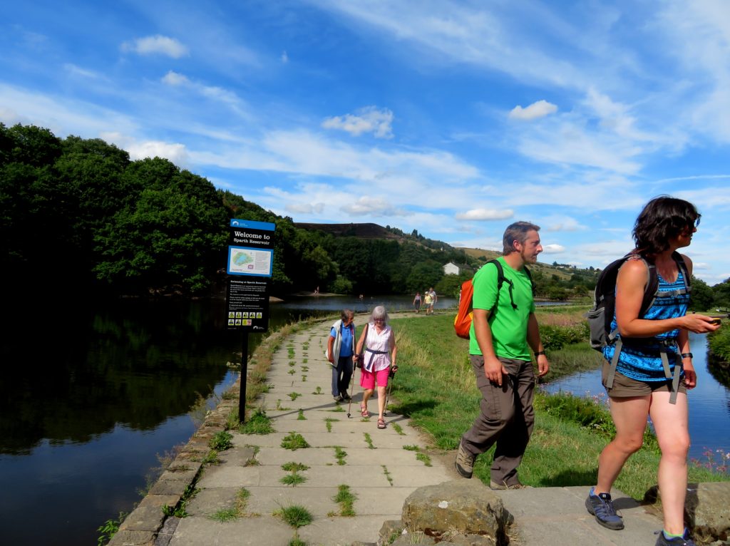
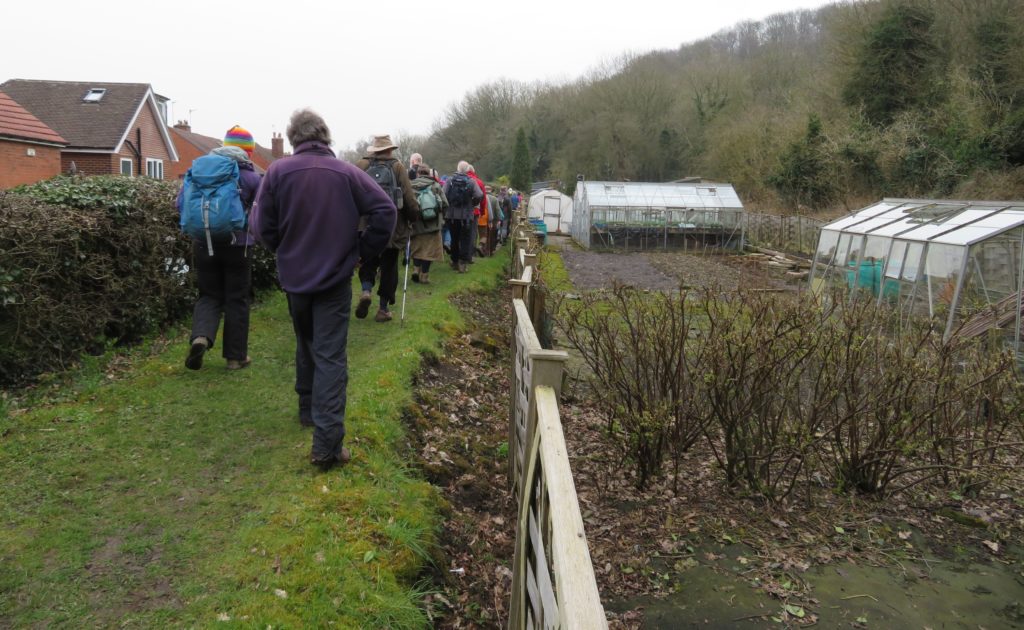
Having met in Ripley our rather large group pretty much filled the bus which took us to Crich market place from where Trevor Griffin, mastermind of the Butterley Gangroad Project, was to be our guide for the Gangroad section of the walk. The project gained HLF funding to interpret and disseminate information about the railway, the associated quarries and limeworks and investigate the tunnel, providing a more accurate picture of the railway.

Butterley Gangroad was first used in 1793 by Benjamin Outram & Co to transport limestone from Warner (Old) Quarry to the Cromford Canal at Bullbridge. During later improvements the line was straightened and connected to Hilt’s quarry. The walk closely follows the route of the Gangroad and many of the landowners are very supportive of the project, which became obvious as the walk progressed.

The route starts at the gates of Hilts quarry which is now owned by Rolls Royce and which they have used as a dump for low level nuclear waste, generated from their building of reactors for powering nuclear submarines. From here we walked down a 1 in 15 gradient which was originally a self-acting double track incline, singled in 1894 for use by locomotive power.

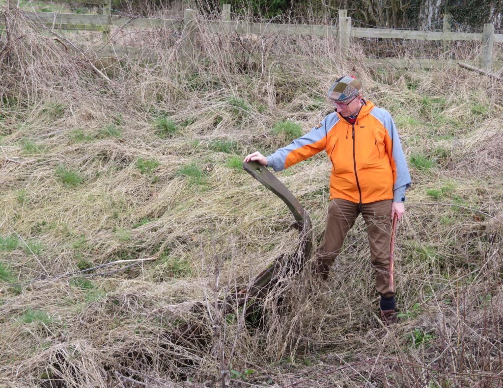
At the bottom of the incline the Hilt’s Quarry branch joined the original gangroad. Climbing over a stone stile, we stood on the original line and then walked down to the road crossing which was originally a tunnel under the road. Here the cottage (now called the engine shed) has a good deal of gangroad memorabilia in the garden including a patio supported on the iron beams taken from the roadway bridge when it was demolished.

Opposite this is a large building, now private houses, which was the hat factory and workers cottages. It is believed that the factory would have been making miners hats.

We soon left the road and cut up through a field from where we viewed an embankment which is part of the new line, constructed when the tramroad was converted to a steam hauled railway, running between stone walls.

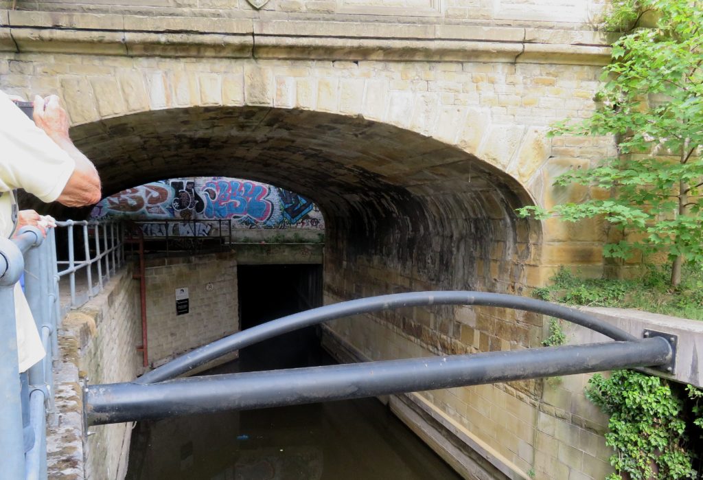
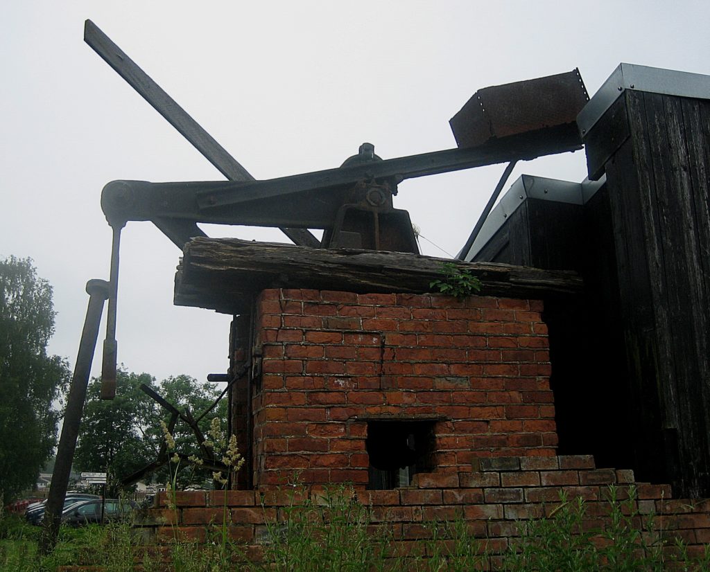
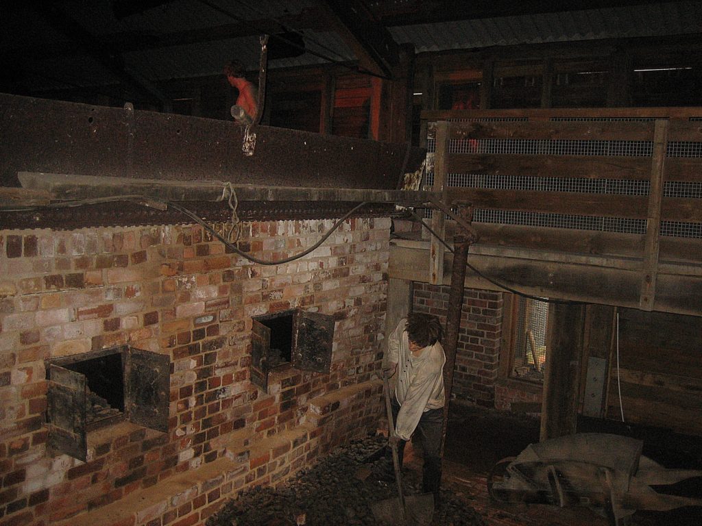
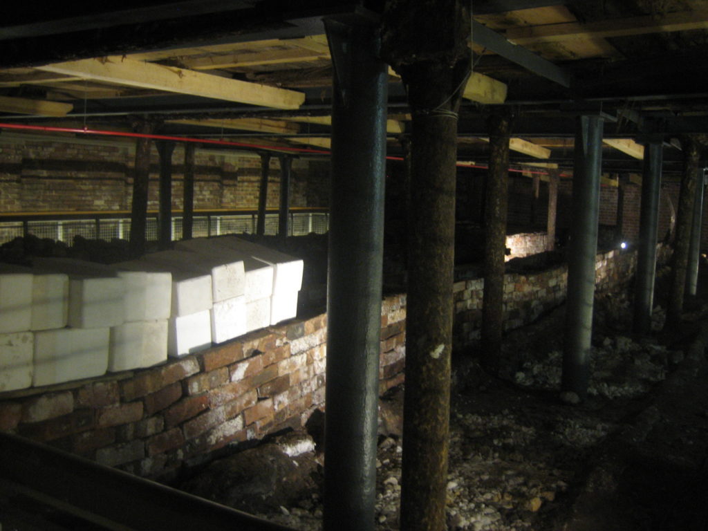
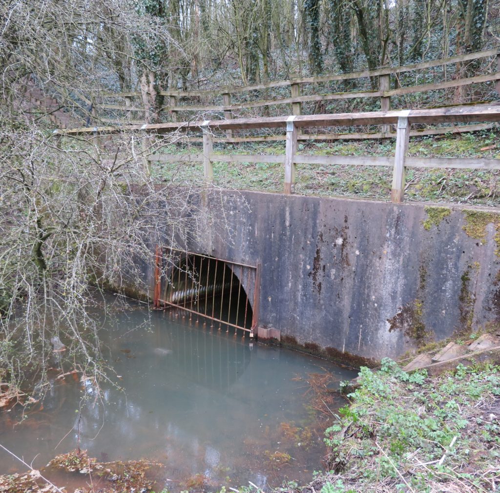
We could also see the old contour line following the line of the tramway. Crossing a stone bridge which crossed the later route we progressed to Fritchley and the world’s oldest railway tunnel. About 90ft long, the tunnel passes under the road. The portals are now buried but the north portal was opened up in 2013 for a survey to be done as part of the project.

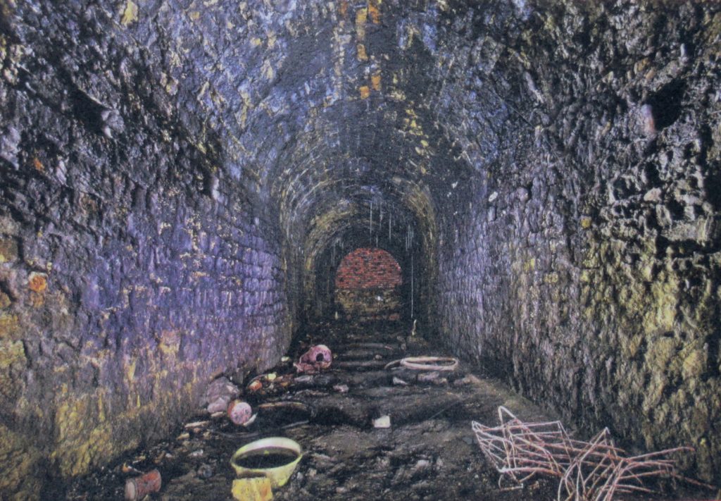
Photo taken inside the tunnel during the survey

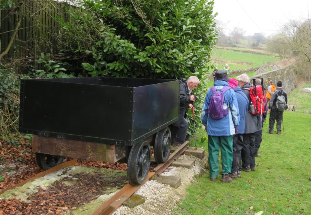
At one side of the road a representation of the type of waggon that would have run on the line is situated close to the railway line and next to interpretation boards.

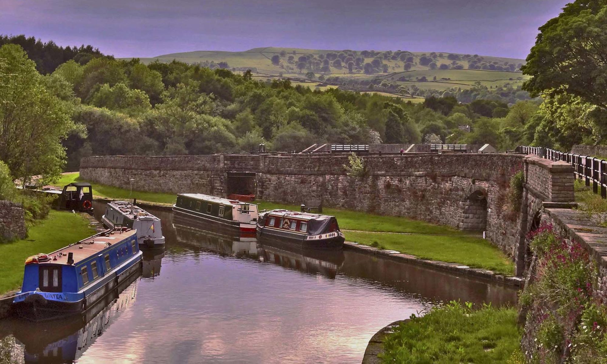
After passing the limework managers house, stables and yard we passed under a Butterley Ironworks bridge, heavily stabilised, which would have carried the railway into the limeworks yard at Bullbridge. Here the railway met the Cromford Canal at Amber Wharf and the burnt lime was loaded onto boats or rail wagons for transportation.

At this point Trevor left us and Hugh took over as guide to take us along the Cromford Canal to Butterley. From Bullbridge Wharf Bullbridge (or Amber) aqueduct took the canal across the Amber valley. 30’ high, it crossed the river, road and later the railway, surviving until 1968 when the road was widened and the aqueduct demolished.

To join the canal we crossed the railway and then braved the A610, where Paul took his life and walking stick in hand to stop the traffic for us to cross. Immediately after the aqueduct the canal turned sharply; there is now a house on this site which has the original dry dock in it’s garden. Unfortunately there is also a high fence running across the canal. The canal runs on a high and very steep embankment here with houses along the bottom, making us wonder how residents would feel to have a canal full of water above them.

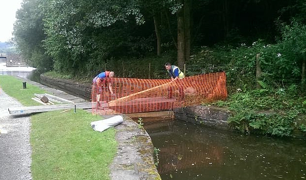
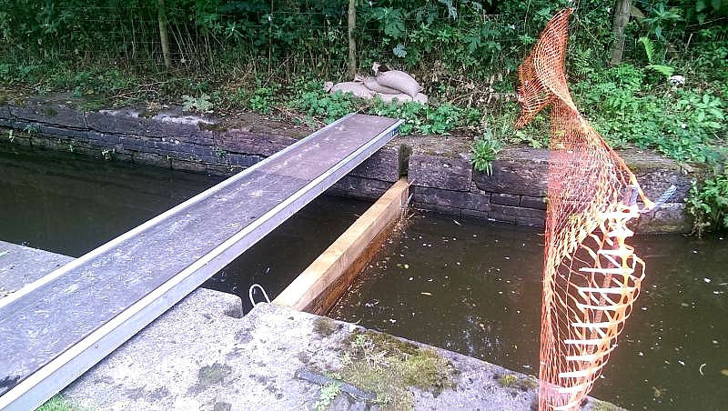
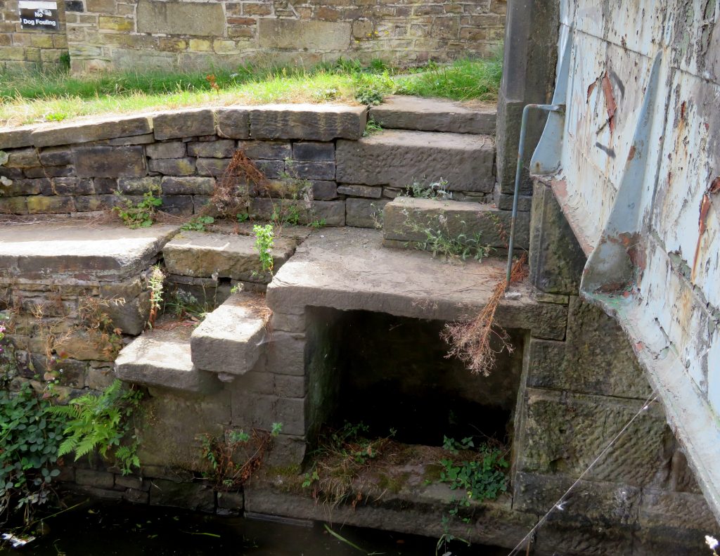
Next we reached a gauging narrow, which the society have been clearing. Originally a toll house stood here, the entrance gateposts remain. After Brickyard bridge there is a section of canal that was sold off piecemeal in the 1960’s to local home owners. This is now covered in allotments and cars.

To the side of this is an old railway line which could provide an alternative restoration route, thus bypassing the problems that are foreseen in restoring the original route. After passing through Buckland Hollow tunnel, which, although the channel is infilled, appeared to be in good condition, we were all pleased to reach our lunch stop at The Excavator pub, formerly Ladybank House, the offices of G. Wheatcroft & Co, canal carriers, who had put on a delicious carvery for us.

Suitably replenished we set off for Butterley Tunnel. We soon reached a short section in water, although only because it is being used as a fishing lake, then saw the remains of a working boat embedded in the canal bed.

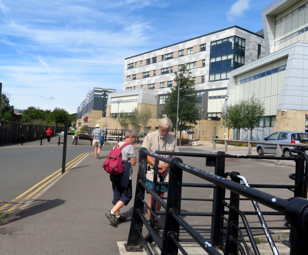
We followed the dry—ish intact canal bed to the entrance to Butterley tunnel, having scaled the heights of the A610!

60 steps up, and back down, over the A610

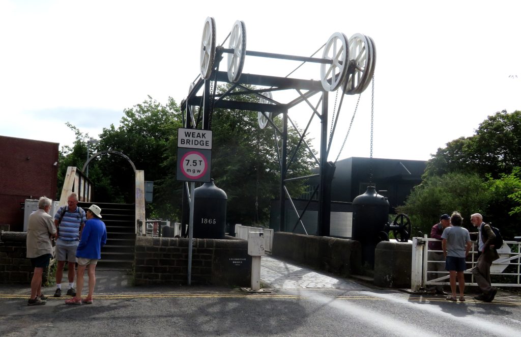
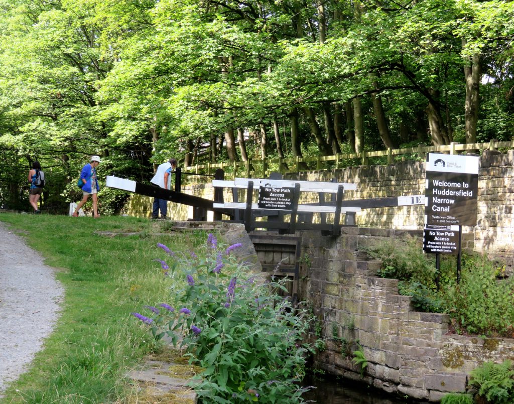
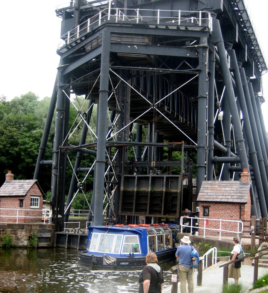
At 2,966 yards, at the time of building Butterley tunnel was the third longest canal tunnel in the World after Sapperton and Dudley. It has an underground wharf from where a horizontal tunnel ran to the Butterley Company’s Butterley Carr Pit which opened in 1812 and loaded its coal directly into narrow boats at the underground wharf. There were also vertical shafts from the wharf which allowed goods in tram boxes to be lowered directly from and lifted up to the Butterley Company’s works (on the hill above the tunnel) to and from the underground wharf. The tunnel suffered from subsidence and closed in 1900 thus splitting the canal into two separate sections. The tunnel was extended when the Ripley bypass was built, but with only a 5’ diameter section of corrugated steel.

Entrance to Butterley tunnel

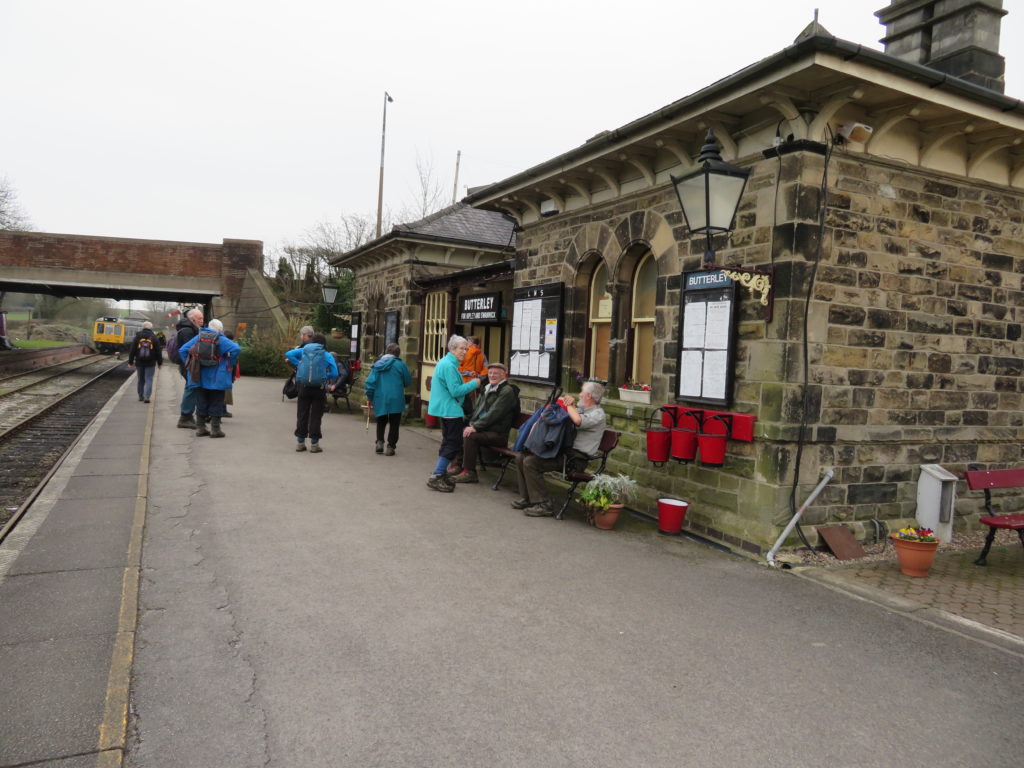
On the final part of the walk we visited the Midland Railway Centre station at Hammersmith and the Butterley reservoir. This was built by the Nottingham Canal Company and the water delivered there very conveniently via the Cromford Canal. We finished at the Midland Railway Centre’s Butterley station, from where it was a short bus journey or walk, past the remains of the Butterley Company works, back to Ripley.

Many thanks to Hugh for organising such a varied and interesting walk and to Trevor for his excellent guidance along the Gangroad.

Postscript
Following the walk Hugh sent us the following article from 1959 which we thought would be of interest, particularly to those who had been on the walk:

Cromford Canal to Go? 

The future of the Cromford Canal in the Ironville and Golden Valley areas was brought up for discussion, when a letter was read from the Inland Waterways Protection Society, an organisation which seeks to fully restore existing canals to navigable waterways, suggesting a “new cut” from Chesterfield to Pinxton Canal with a view to linking the canal system from Leeds to London.
A letter from the Clerk, Mr. H Taylor, was read in his absence, in which he pointed out that there were two alternative resolutions. The first being that of supporting the Inland Waterway Protection Society for the restoration of the Cromford and Pinxton Canals, and deferring the question of Oaks Row Bridge at Ironville. The other that the abandoned and derelict canal at Golden Valley and Ironville to be filled in and consideration of it’s ultimate use as a roadway.
Coun. Rimmington said that as the council had been notified of the decision by the British Transport Inland Waterways that the Cromford Canal had been abandoned, the council had decided that the hump bridge at Oak-es Row had to go because of it’s danger to motorists and mothers pushing prams.
Coun. Rev, Francis said that the canal was in a terrible condition, and that the bridge was a public danger.
Coun. Weston remarked that it was not a practical proposition to attempt to make use of the canal as a future waterway. “It leaks, the towpaths have gone, and the residents as a whole would recommend it’s closure”
Coun. Peacock suggested that the matter be deferred until the Council could hear the views of the Clerk. This proposition was carried, and the question was deferred until next Tuesday.

Spring at the basin

Having been snowed off the February working parties, volunteers finally got going in March planting over 70 trees and shrubs on the area that had been disturbed where the new feed had been built. It’s still looking pretty bare there but will gradually fill again. We also plan to sprinkle wildlife friendly wild flower seed here.

The next task was to install a new wonderful (and extremely heavy!) bench in memory of Vic Garner who’s analysis of sediment in the basin ensured that the restoration could go forward. This involved setting stones into the ground and bolting the bench into them. The bench looks great, made from green oak to a very sturdy design. Already well used this should enhance the basin for many years to come.

Holes regularly appear in the ground immediately behind the coping stones in the lower basin area. The basin being sited on infilled land built behind the large riverside retaining wall, holes are always of a concern for water loss, destabilisation of the ground and are also a hazard to walkers. Pablo and Rod have been busy clearing then plugging the many holes around the lower basin arms with puddle clay.

Keeping the lime kilns clear of trees to prevent roots damaging the structures is a never ending job which Martin spends many hours doing, seen here with Steve helping.

The major job has been the assembly of the replica tramway wagon. After much deliberation it was finally decided to have the steel cut in ‘kit’ form for the body of the waggon. This has been assembled in the workshop and is now ready to be moved onto rails on the island, which is due to happen shortly. The gate remains to be made by a local blacksmith and will be attached to the end of the waggon at a later date. The wagon will be left to rust for a year after which it will be treated and painted black and filled with limestone.

In the area between the shop and the containers a group from Alderbrook who come down to the basin every Monday to work have been busy painting the planters and posts close to the shop.

And outside the container volunteers have been getting stones in place for benches to be installed in the new sitting area. The idea is that visitors can sit with a drink or ice-cream while reading the time line. We will be putting in temporary benches while the oak ones are being constructed by the volunteers along with planters which we will be filled with herbs and flowers.

Last but not least we are very pleased to have a new wildlife volunteer who is currently busy spotting and building a list of the birds, mammals and amphibians around the basin, she is also in contact with a lady who surveys for butterflies in the area so we should soon have a list of these too. A wildlife display is planned for the information container with the idea of getting visitors to the basin involved in wildlife spotting.